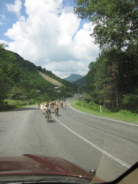
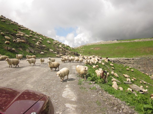
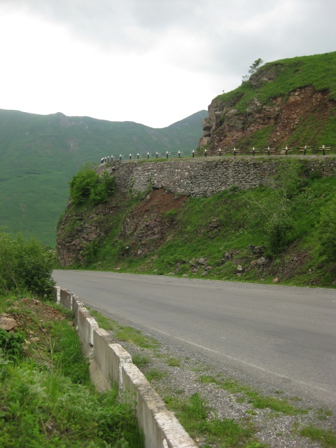
Now it was time for the rest of the drive to Kazbegi. As we got closer, the road got twistier and steeper, and we saw more wildlife.
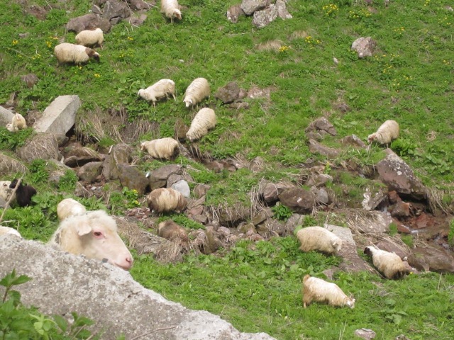
You have to be careful and not let sheep sneak up on you.
We don't remember what town this was, but we noticed these metal tubes decorating all the fronts of the houses along the highway. They weren't exactly fences, as they were sometimes higher than head height. Kirsten explained that they are natural gas lines running to everyone's house. We are not used to seeing the network out in the open like this!

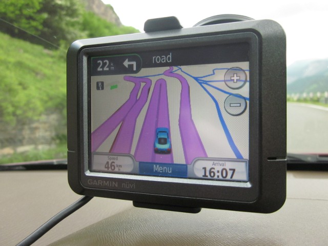
As we got into the really twisty part, the GPS screen was filled with switchbacks.
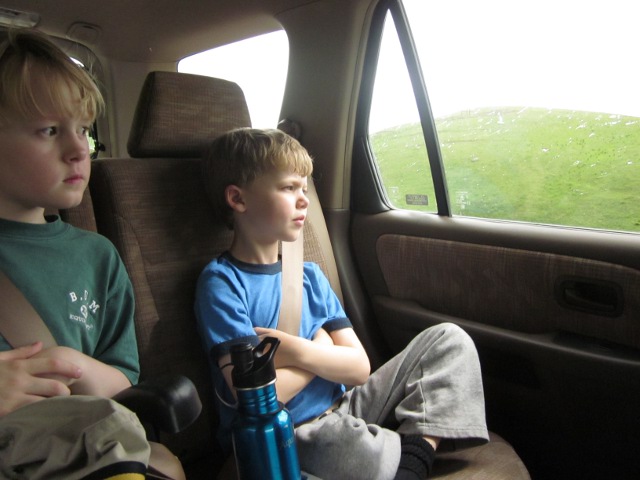
Aquil and Eero patiently watching the scenery go by.
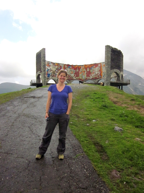
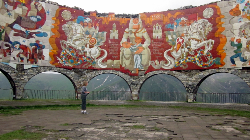
As we drove up farther into the mountains, near the town of Gudauri, we came across a fantastic monument. We didn't know what it was exactly at the time, although it was clearly in a Russian style. Later research revealed it was created in the Soviet era to commemorate the 1783 signing of the Treaty of Georgievsk, where Georgia agreed to be a Russian protectorate. This didn't work out for Georgia, as the signing of the treaty caused Persian to invade, and Russia did not intervene to help (this was the same invasion that led to Tbilisi being destroyed). Anyhow, it's a very impressive monument. From the highway it's a little walk up a low hill - here's Alison on her way up. Notice the cows enjoying the monument, too.
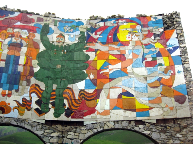
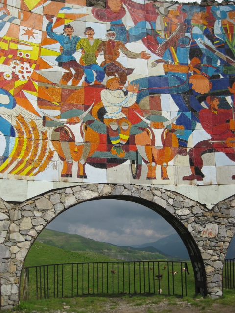
When you get up there, you can see the interior is decorated with really wonderful paintings with folkloric and political content.
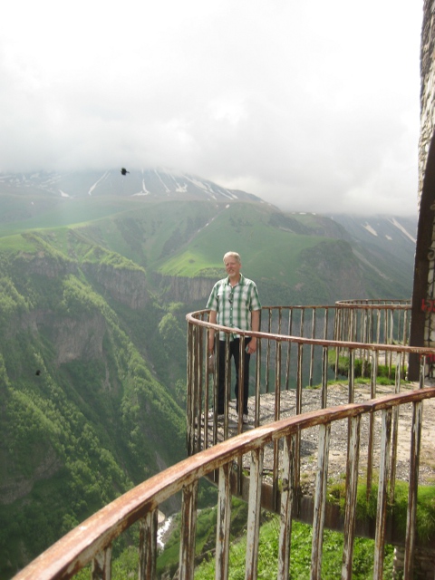
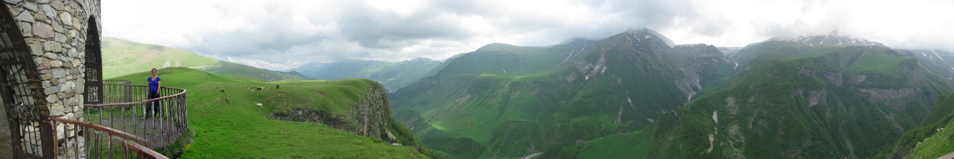
And it's up on the cliffside with some great views.

It's built with semicircular balconies that jut out over the drop off. Those are hawks soaring in the background.

Here's the big picture from the balcony (scroll to the right to see the whole thing).
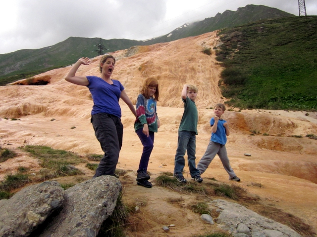
After we finished enjoying the monument, we pressed on, and came to an area where the rock formations were all red from the iron ore. It's hard to see in the picture, but a thin layer of water is running over much of the rock surface here.