Finally we made it to the top. The kids made a flag out of a stick and their hats to celebrate. Yet another amazing view. That's pretty much all Russian parts of the Caucasus Mountains in the background - at one point we were somewhere between 200 meters (Vernon's recollection) and 2 kilometers from the border with Chechnya - Google maps is surprisingly unhelpful in resolving the matter.
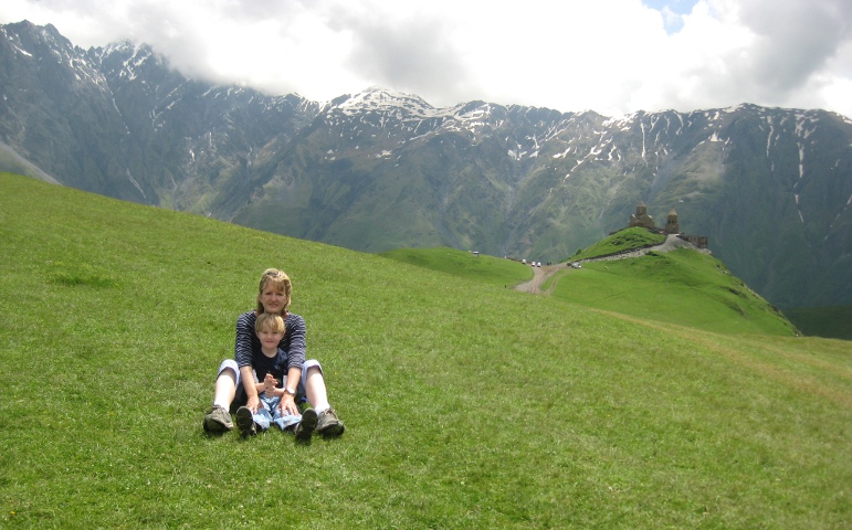
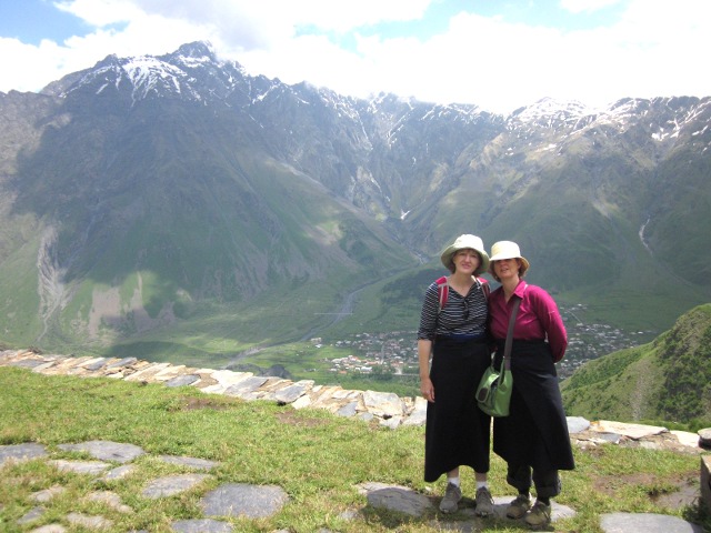
Kirsten and Aquil taking a well-deserved break after the climb. This is looking in the other direction, towards the church.
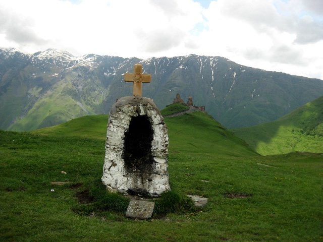
Another view in the direction of the church, showing a little altar nearby. Alison cleverly framed this picture to hide the cars of the people who hired a crazy person to drive them up the mountain (Lonely Planet makes it clear this requires some guts).
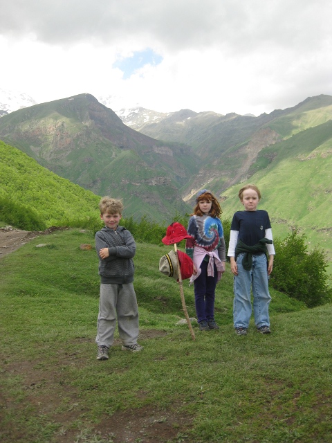
Cielo and Aquil celebrated our success.
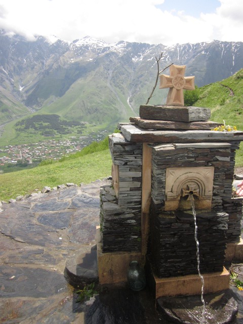
Fountains are common outside Georgian churches. This one is particularly nice, and you get a nice view of the town of Kazbegi below. It took us two hours on foot to get here from down there.
When we finally reached the church it was time for a granola bar break before going in.
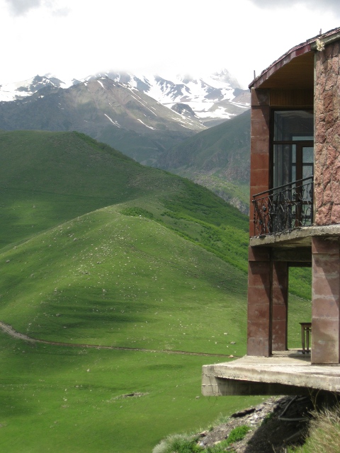
As Eero repeatedly pointed out (by demonstration), Georgia is not big on guard rails. This is from the base of the church, looking past the priests' residence next to it.
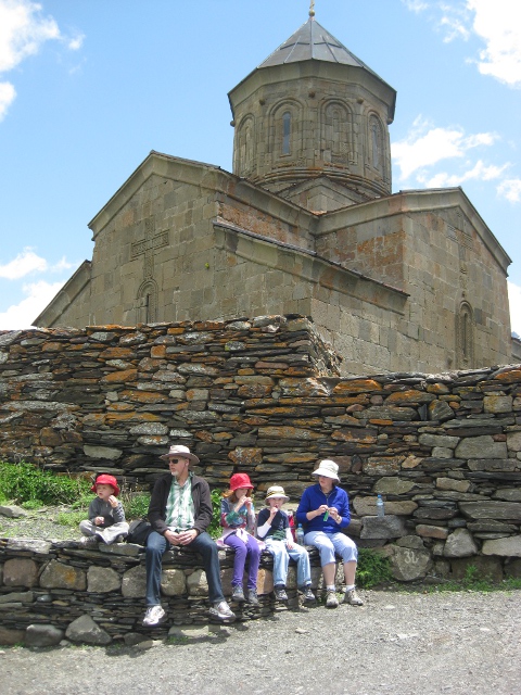
To actually go into the church, women have to cover their hair and wear a dress or skirt. As at many churches, the required coverings are available to borrow. Once again that's the town of Kazbegi down below.
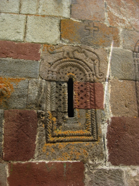
The stone carvers who decorated the church included these creatures, which really look like dinosaurs. Maybe they're wingless birds, or badly drawn lizards.
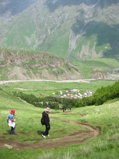
Then it was time for the walk back down. We took a more gently sloped route up. This route, which was pretty steep (several of us slipped at least once on the way down) only took 45 minutes. Most people seem to take this more direct route, and they looked exhausted.
Alison found some spectacular growth - ten distinct plants in four inches of rock - on the way down.

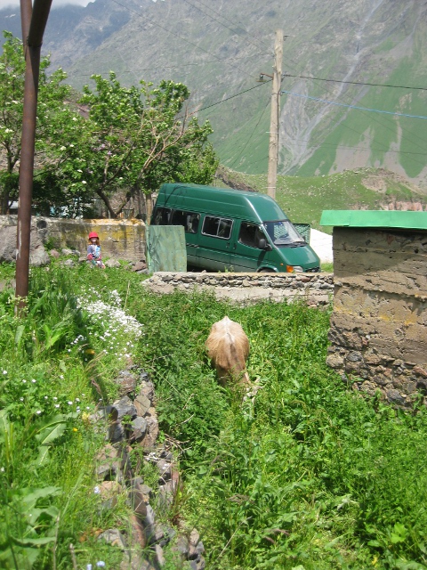
As mentioned before, it seems like everyone in town has livestock. It's not clear how this cow ended up in this yard with a high stone wall, though. Maybe they put her in there as a calf.
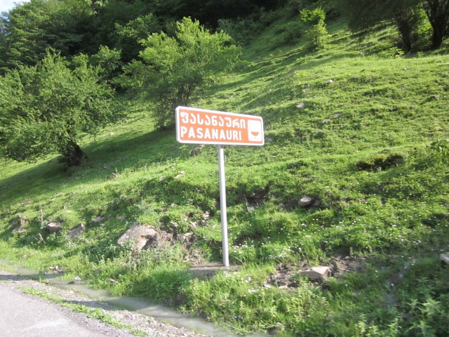
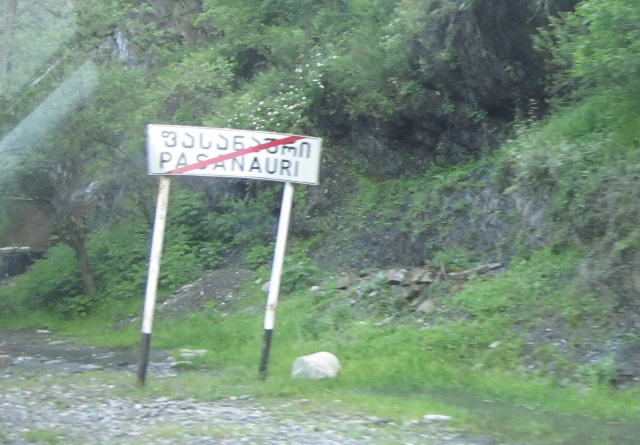
Georgia (and as we learned later, Spain) marks the entrances and exits from cities and towns with signs that show the name when you enter, and the name crossed out when you leave. As you can see most road signs are in both the Georgian and Latin alphabets, which is very convenient for visitors.
While we were in Kazbegi, there were huge rain storms, the the Georgian Military Highway (the route back to Tbilisi) was temporarily blocked by landslides. Fortunately they had been pushed aside by the time we got back to them.

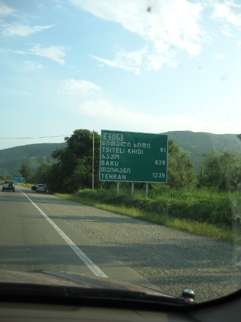
Alison spotted this road sign on the way back - only 1239 kilometers from Tehran! We saw several groups of Iranians during our stay - including a couple of young men who wanted to have their photo taken with Cielo (she declined).